Loon Lake Shoreline Receding


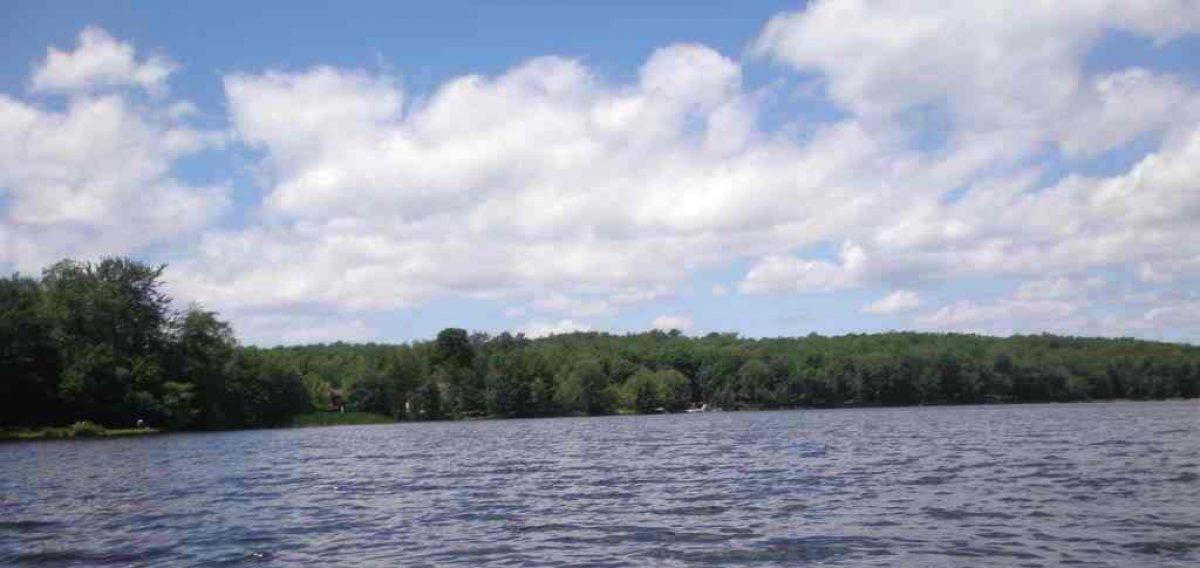
With summer fast approaching, residents of Loon Lake may need to be careful jumping off the end of their piers less they come up with a muddy body. Tom Curtin of Branch, Michigan, has informed me that Loon Lake’s shoreline is receding to the point where many piers are now completely out of the water!

This could well be due to the lack of snowfall due to a mild winter.  I wonder if other area lakes are similarly affected such as Alice, Big Bass, Little Bass, Seaman, and Sauble lakes?  Let us know what the state of your area lake is like in respect to its shoreline. 

Perhaps all is needed are a few good Spring rainstorms? 

Big Bass Lake Vista


There is hardly a vista anywhere on Big Bass Lake that doesn’t seem to top the next one. I used to love to take in the lake from our cottage all the way to our wooded beach along Noreika Road which was in full view at all times. Also in full view along that route was the Haunted Island.

From our pier you could make out the bridge to the Big Island some distance away which was another route I would often take by rowboat enroute to the Big Bass Lake store when it was open. Just under that bridge and to your right was the store. And from our wooded beachfront you could make out both the Big Island and Haunted Islands quite wll especially their northern most tips.

Almost any cottage owner could claim the most scenic location on the lake for they are all wonderful. That is why my Uncle Joe so liked the pointe just east of our camping area on our wooded beach. It gave full access to the middle section of Big Bass Lake, west to east. Great views all!

Our Farming Field From Two Directions


These two pictures, one from winter and the other from summer, provide you with the full length of our family field. In the picture from winter you are looking north along Big Bass Lake Road and the trees you see in the distance are just after Noreika Road which cuts through the middle of our property. The forest beyond for nearly another half mile was our property as well and it extended north along Big Bass Lake Road all the way to Matson Road and then even some along that road.

The summer picture looks at our field southward also along Big Bass Lake Road almost to the Public Landing. This was the field that my grandparents farmed. Although it looks quite large the majority of the property was forestland.

The winter photo was taken by Ed Hawks and the summer one by myself. The summer shot was taken from Noreika Road.

The Full Extent of the Ludington Breakwater


It’s quite a walk out onto the Ludington Breakwater and even more so when the waves are high and mighty.  Then its walk at your own risk.  I personally like to jog out to the lighthouse at least once a week in calm seas.  When I do, Darlene prefers to sun herself on the pristine sands of the Ludington beach.

And, how about this aerial photograph?  Have any of you traveled that special quarter of a mile  Let me know how you liked it by way of a comment.

A Pier on Sauble Lake


LittleSauble

As I’ve mentioned before the Benish family had a cottage on Sauble Lake which I swam at once. Yet this pier in this photograph is rather impressive wouldn’t you say? It is easy to tell where beginning swimmers had to stay. If you were an avid fisherman that dock had many vantage points to fish from.

I don’t know a whole lot about Sauble Lake other than the Fun Spot was located just across the street from it. Any Sauble Lake residents out there that would like to enlighten us with more information about your lake? As I understand it there is actually a series of about five lakes. Are there any channels that connect all these lakes?